Professional Surveying & Land Development Solutions for Auckland and Beyond...
We offer professional land surveying and land development services in Auckland and throughout New Zealand. Our team can assist with land development, planning, boundary surveys, subdivisions (fee simple, cross-lease, and unit title), resource consent applications, site and topographical surveys, and building set-out, location, HIRB compliance, and maximum height surveys.
Licensed Cadastral Surveyors
As Licensed Cadastral Surveyors we are qualified to carry out any legal survey work where property boundaries are concerned. Utilising the most advanced computing software and survey field equipment available, we are able to provide professional services that allow us to deliver innovative solutions for our client's survey requirements. We utilise both GNSS and conventional terrestrial surveying methods.
Project Efficiency
Through working closely with our client's we are able to streamline the planning, consenting and land transfer survey process to achieve high quality results and help ensure projects are completed ahead of time and within budget. We are a multi-disciplinary consultancy combining land survey, civil, environmental and structural engineering disciplines and provide a fully integrated and comprehensive in-house service for our clients.
Land Development Report
It is important to note with any land development project that no two properties are the same, there are both physical and non-physical attributes which influence how and if a property can be developed. It is essential that the land development requirements and constraints for a property are disclosed at the earliest possible opportunity. This enables developers to make informed decisions about the viability of developing a property. To assist with this decision making process we can provide you with a detailed report on possible development options for the property along with a detailed estimate of costs to develop.
The land development report will provide the following information:
- A review of the Auckland Council’s District and Regional Plan rules relating to the development of the property;
- An outline of the engineering requirements for servicing the land development of the property, being public stormwater and wastewater drainage, water supply and shared vehicular access, where these are applicable;
- An outline of the land development, subdivision and resource consent processes and associated timeframes;
- A scope of works along with estimated fees for our engagement in the land development process, this also includes estimates for any other related professional consultant services, such as geotechnical and traffic engineering;
- An estimate of the likely Auckland Council, Watercare Services and Auckland Transport fees and contributions; and
- An estimation of the land development physical works construction costs which are associated with servicing the proposed development.
Our Experience and Expertise
We currently have a three staff dedicated survey field team available to carry out survey work. Through our experience and in-depth local knowledge we provide our clients the benefits of our extensive local knowledge and experience with land development. We have long established relationships with planning and engineering staff at Council and Land Information New Zealand. Our staff has a robust understanding of resource consent application procedures and Land Information NZ rules and policies; this is particularly of benefit at the closing stages of a survey/subdivision project.
Our areas of particular expertise include:
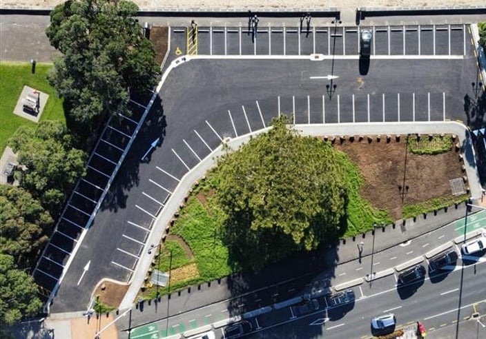
Detailed site topographical surveys
Boundary reinstatement surveys
Legalisation surveys
Conversion of cross-lease to fee simple (freehold) title surveys
Fee simple land subdivision - urban and rural
Unit title land subdivision
GPS and total station robotic survey equipment
Sports field surveys
Height in relation to boundary (HIRB) FFL and siting certification surveys
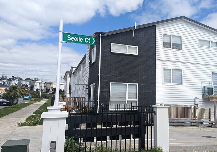
Construction and building set-out surveys
As-built surveys of construction works
Esplanade and foreshore surveys
Crosslease update surveys
Removal of limitations on title surveys
Contact Us for an Estimate

Who To Contact
Ollie Hope
Team Leader Survey
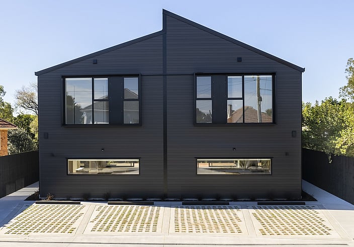
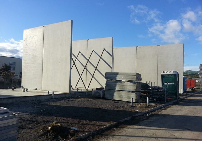
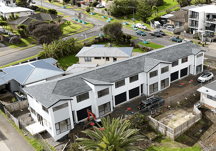
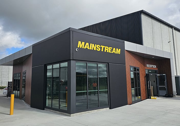
Projects

Our Services


Address
Auckland Office
Level 4, Geneva House 3 Te Kehu Way, Sylvia Park
Auckland 1060
Postal Address
PO Box 11529
Ellerslie
Auckland 1542
Contact Us
CLC Consulting
+64 9 576 3276
clc@clcgroup.co.nz

